MINISTRY OF ENVIRONMENT
AND ENERGY SECURITY

asino bianco e piccolo
Asinara
bassa IMG_2087
bassa IMG_3060
bassa IMG_2967
bassa IMG_1840
bassa IMG_1866
bassa IMG_3942
bassa IMG_3838

Asinara Park

Geography

The island of Asinara is located at the northwestern tip of Sardinia, between Punta Colondri to the south (40°59′ N), Punta dello Scorno to the north (41°07′ N), Punta Salippi to the west (4°15′ E) and Punta Sabina to the east (4°06′ E).

It has an area of about 52 square kilometers and a straight-line length of about 17.5 kilometers. The width varies from 290 m in Cala di Scombro to 7 km in the northernmost part of the island, from Punta Grabara to Punta Sabina. The coastal perimeter is about 110 km.

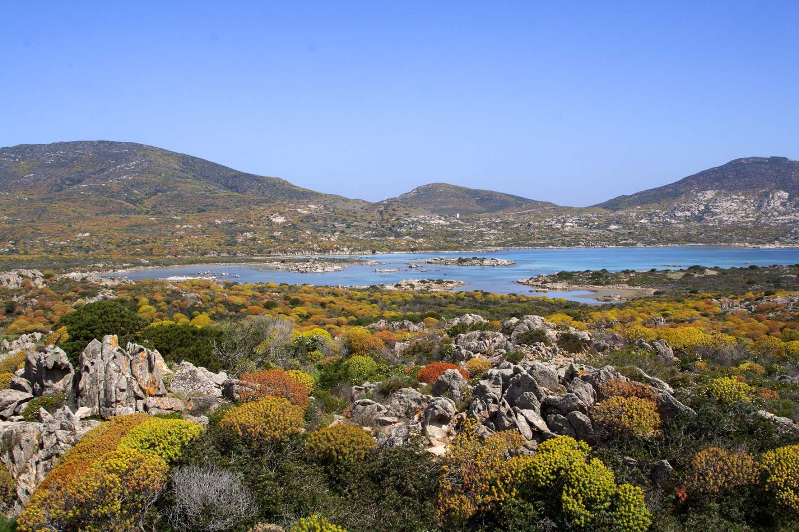
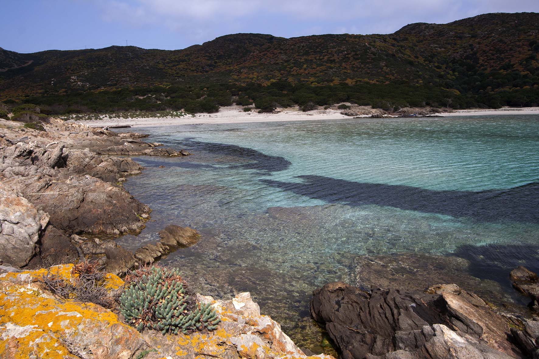
The island is characterized by large areas of rock outcrops, with vegetation cover mostly represented by Mediterranean scrub; only the Elighe Mannu area in the northern part of the island is the most extensive forest formation, represented by holm oak forest (Quercus ilex), also affected in the past by reforestation works.

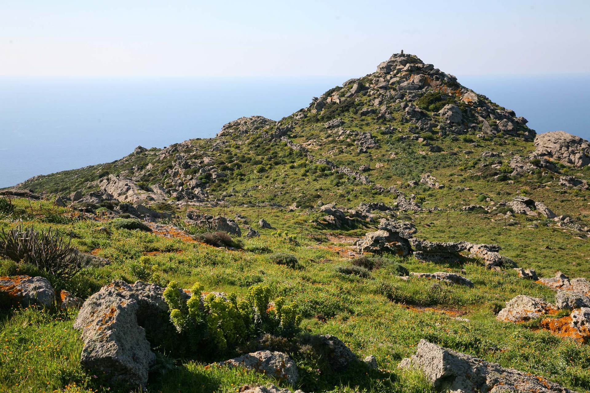
The island consists of four small mountain ranges connected by isthmuses.

The northern one is the largest, both in extent and altitude, and includes the highest relief of Punta della Scomunica (408 m asl), which connects to the south with the Campu Perdu plain.

South of this plateau outcrops the shale complex of Mount Ruda (215 m asl), which occupies a hilly area of about 2 square kilometers, bounded by the underlying isthmus of Punta Marcutza (195 msm).

In the south-central part of the island, south of the area called Stretti, is another group of reliefs, including those of Punta Tumbarino (241 msm), Punta Romasino (215 msm) and Guardia del Turco (128 msm). The ridge line of this relief is oriented in a NO-SE direction, similar to the reliefs of Capo Falcone and Monte Forte in the Nurra. This sector is bounded by the two rias of Cala Scombro di Dentro and Scombro di Fuori and is the narrowest point on the island.

The southern core consists mainly of the granitic intrusion of Punta Maestra Fornelli (265 msm) and gray shales identical to those on the Stintino Peninsula. The connection between this area and Isola Piana is broken by the Fornelli Strait whose bathymetries do not exceed 5 meters.

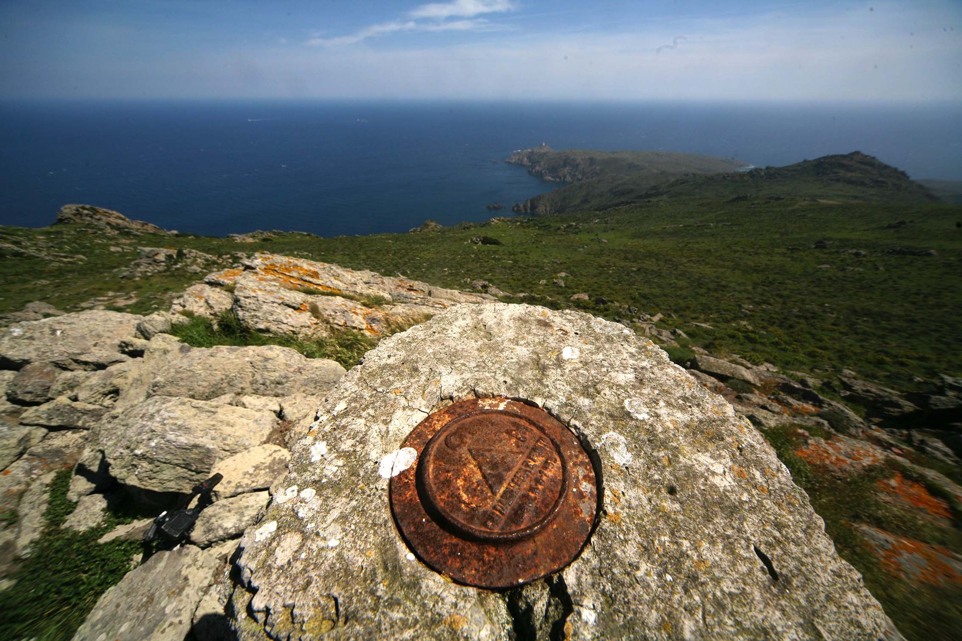
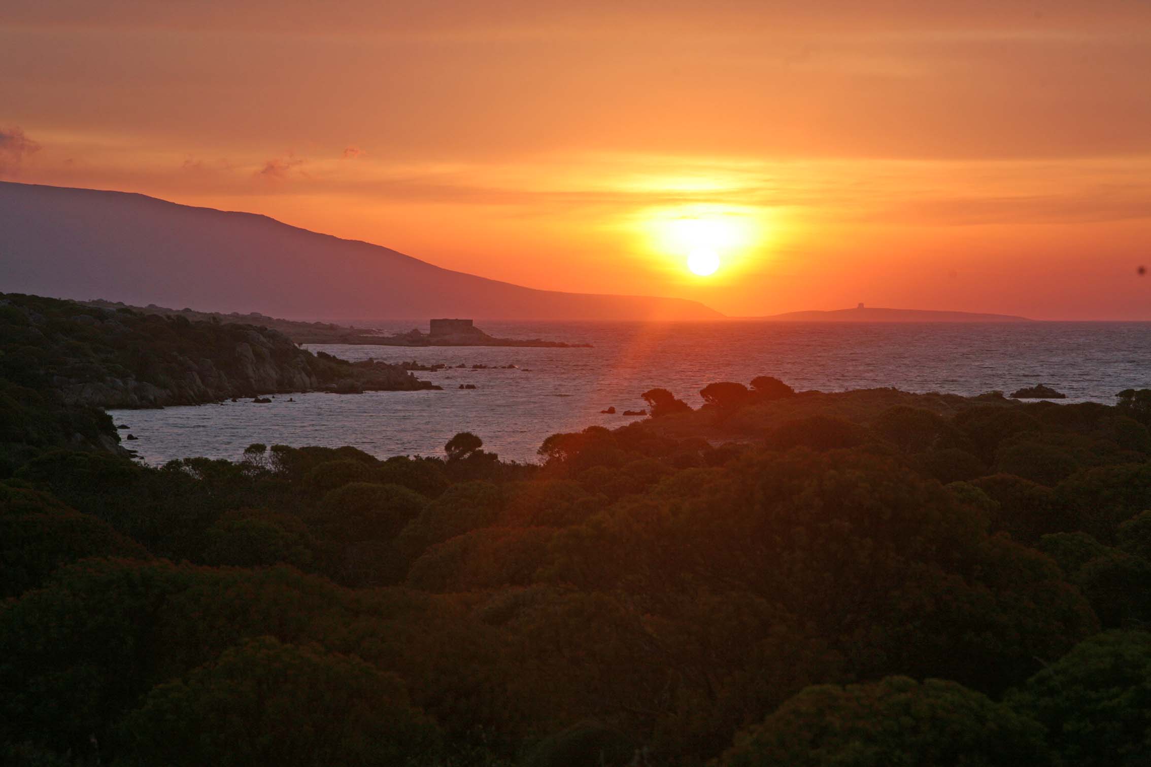
Different erosive action is evident along the coasts, reflecting the exposures of its lithotypes: in fact, the west coast is steep and rocky, almost totally inaccessible from the sea due to cliffs that reach 200 meters in places. Here, the coastline, which is affected by the strong action of sea currents and wave motion of quadrant IV winds, is characterized by the absence of sandy deposits and thrashing furrows that deepen for a few meters.

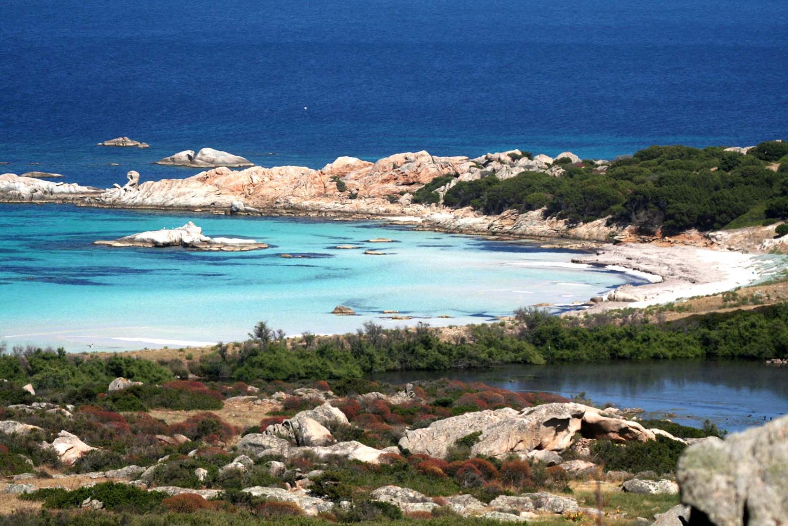
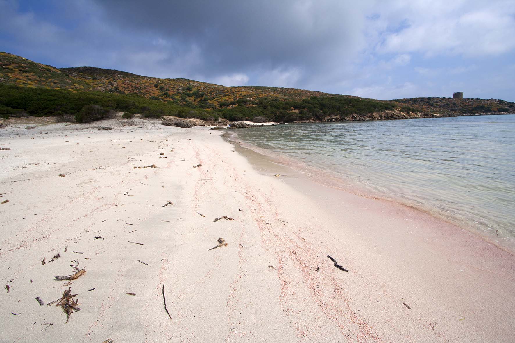
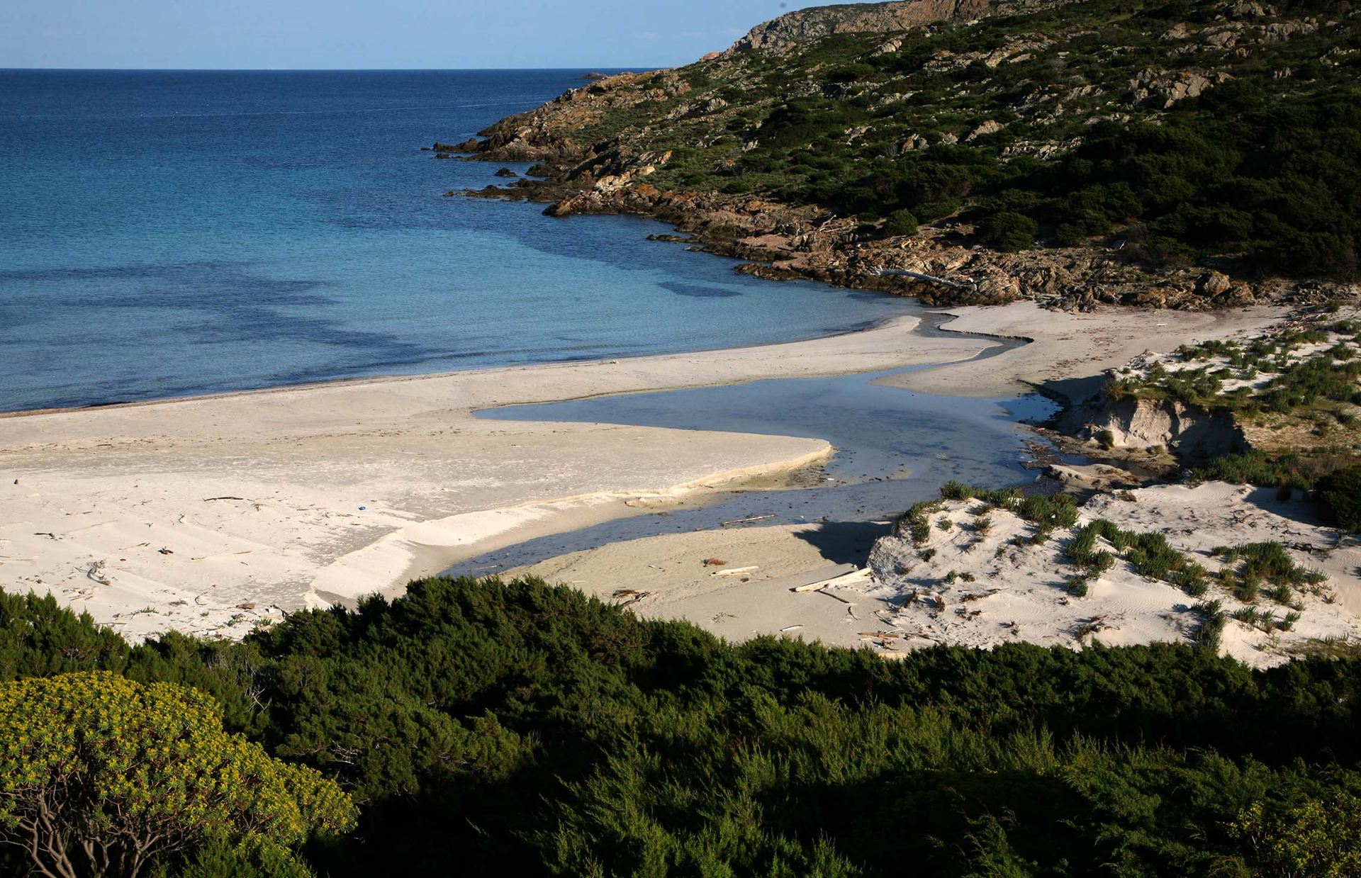
On the contrary, the east coast is generally low and rocky, with beaches located mainly in Fornelli, Sant’Andrea, La Reale, Trabuccato, Punta Sabina, and Cala Arena, with the presence in the same areas of backdune ponds.

Climate

Rainfall is characterized by values among the lowest in all of Sardinia, evidently influenced by the insularity situation, and rarely reaches the average annual value of 500 mm of rain.

In terms of temperature, the coldest month is February with average values of about 10 °C, while the hottest month is August with an average of 23 °C.

The most frequently blowing winds are the westerly, present for about 35 percent of the days, and the mistral, for about 13 percent: together these northwest winds are present for about half of the days of the year. The easterly blows about 20 percent of the time, but when it arrives it is difficult to land on the island and navigate to the nearby ports of Stintino and Porto Torres.

The island’s climate is considered semi-arid, and there is little but sufficient water; there is even a small water surplus in winter.

Geology

The geological structure of Asinara is similar to that of the Stintino peninsula with which, before the Flandrian transgression, it formed one large peninsula.

This structure has conditioned the shape of the island and its less recent evolution and represents the western closure of the great tectonic morphological structure of the Gulf of Asinara.

The remarkable diversity observed between the western slope facing the “sea outside” and the eastern slope opening onto the Gulf is the result of structural arrangements that have guided the shaping of the coast.

To the west this is almost everywhere high and inaccessible; only rarely are remains of ancient Tyrrhenian beaches present, documenting the presence of sandy shorelines and Upper Pleistocene littoral bars, evidence of a situation profoundly different from the present.

The entire eastern side of the island, represented by low-lying coastlines, is marked by the hydrographic evolution of the Pleistocene that resulted in a rias type of coastline, related to marine ingression in small valleys, incised in glacial periods in the large catchment area that flowed in the present submerged area of the Gulf.

The only sector of the island where the asymmetry of the coastline is lacking is the Campu Perdu plain where the elevation difference is limited to a few tens of meters; this is a sub-flat area that in the Quaternary period was the site of lagoonal and lacustrine sedimentation, which gave rise to limestone deposits.

Thus, the geolithological structure of Asinara consists mainly of metamorphic rocks and granitic outcrops of the Carboniferous, which interrupt that affinity with the neighboring territory to create morphological resemblances with the coastal territory of Gallura.

Sardinia's oldest rocks

Until now the oldest rocks in Sardinia have been referred to a metamorphic complex outcropping in the coastal area of Sulcis (early Cambrico), recently a study campaign coordinated by the University of Sassari, identified a Hercynian suture along the Asinara-Posada line, within the continental crust. Geochemical and isotopic characters date the rocks to 950 million years ago.

This complex turns out to be composed of various lithotypes, varying in color from green to white; they are arranged mostly in alternating, sometimes sharp sometimes shaded, discontinuous levels of thicknesses ranging from a few millimeters to several decimeters. Such structural features are typical of intrusive masses, and is the result of the process of slowly cooling magma. The mineral constituents of the rocks are essentially metamorphic in nature and consist mostly of hornblende, plagioclase and quartz.

Hydrography

The particular morphological configuration of the island results in the formation of watersheds of modest size and with different lithological characteristics, some with low permeability and others with greater levels of cracking that favor water circulation.

As for springs, their presence is documented historically; today, however, only traces remain of many.

For wells, attempts at wells over the years have shown the shallowness of the aquifers and their low power, so the small surface reservoirs of Fornelli and Santa Maria, for agro-livestock use in the southern part of the island, later transformed into potable resources for the prisons, were built for needs.

In the central part of the island, at Campu Perdu, a hillside reservoir feeds the entire plain as far as Trabuccato: there is multiple use, and with a system of reservoirs and pumping stations, water from Campu Perdu is distributed for civil and agricultural use. In the northern part, the village of Cala d’Oliva is from the water point of view autonomous: water from the Pecorile reservoir, potabilized at the foot of the dam, is pumped to the main reservoir of the village. From here to gravity is distributed to all homes. Wastewater is collected in a tank near the harbor and sent to the sewage treatment plant. At the outlet, the purified water, after further phytodepuration treatment is distributed in the bush and gardens.

Skip to content