MINISTRY OF ENVIRONMENT
AND ENERGY SECURITY

asino bianco e piccolo
Asinara
bassa IMG_2087
bassa IMG_3060
bassa IMG_2967
bassa IMG_1840
bassa IMG_1866
bassa IMG_3942
bassa IMG_3838

Asinara Park

Park trails

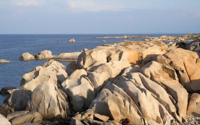
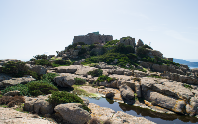
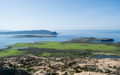
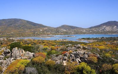
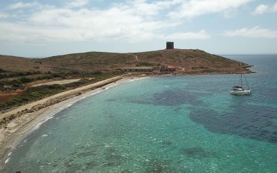
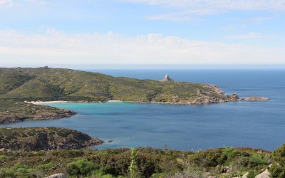
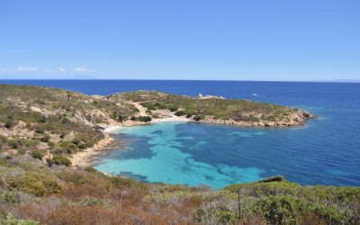
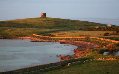
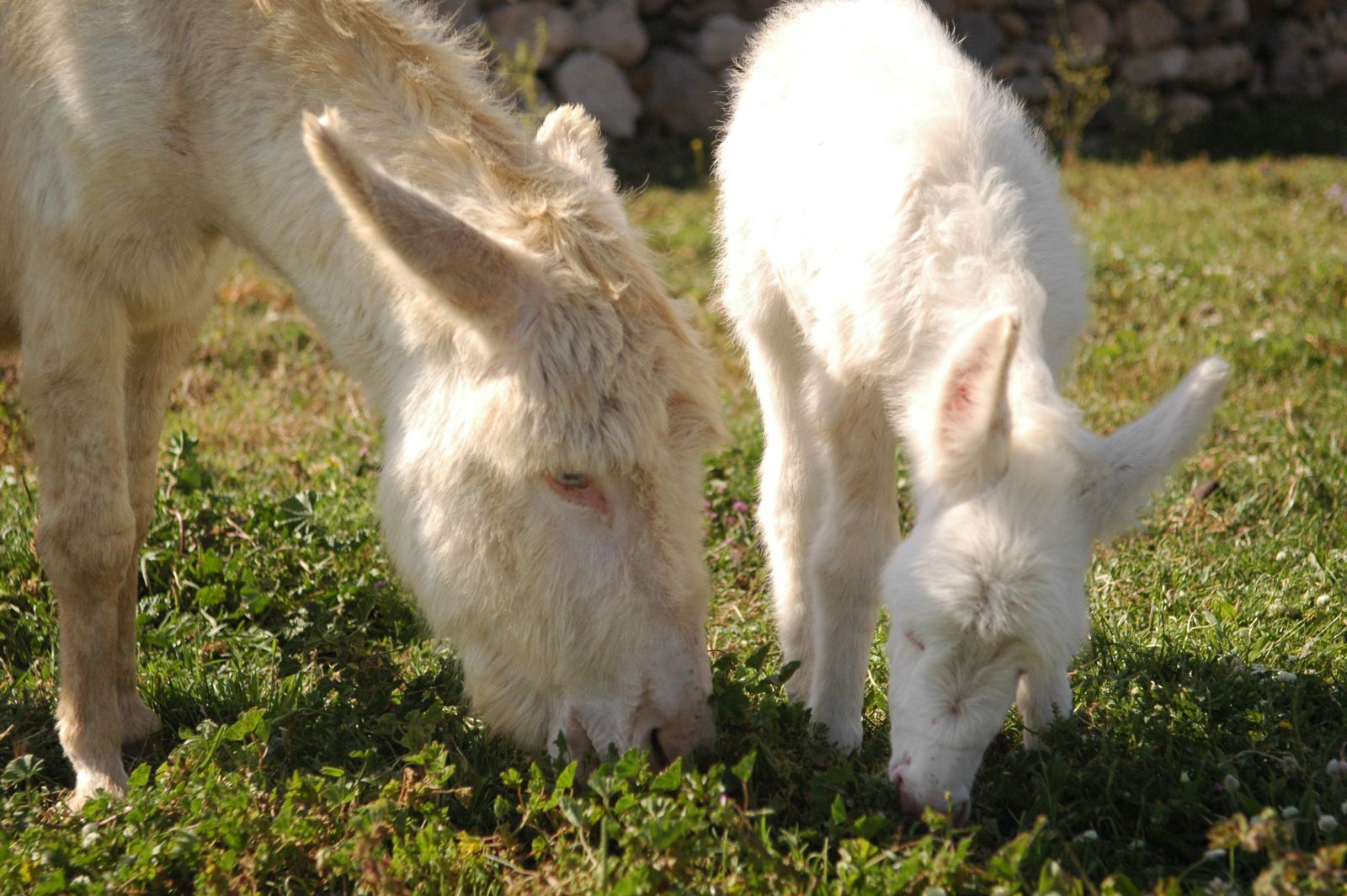
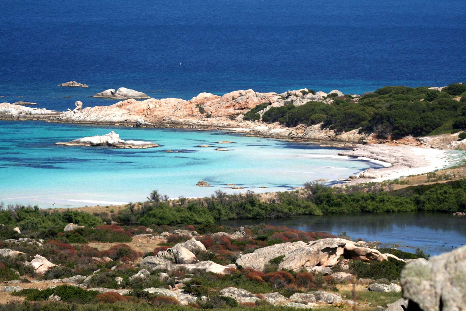
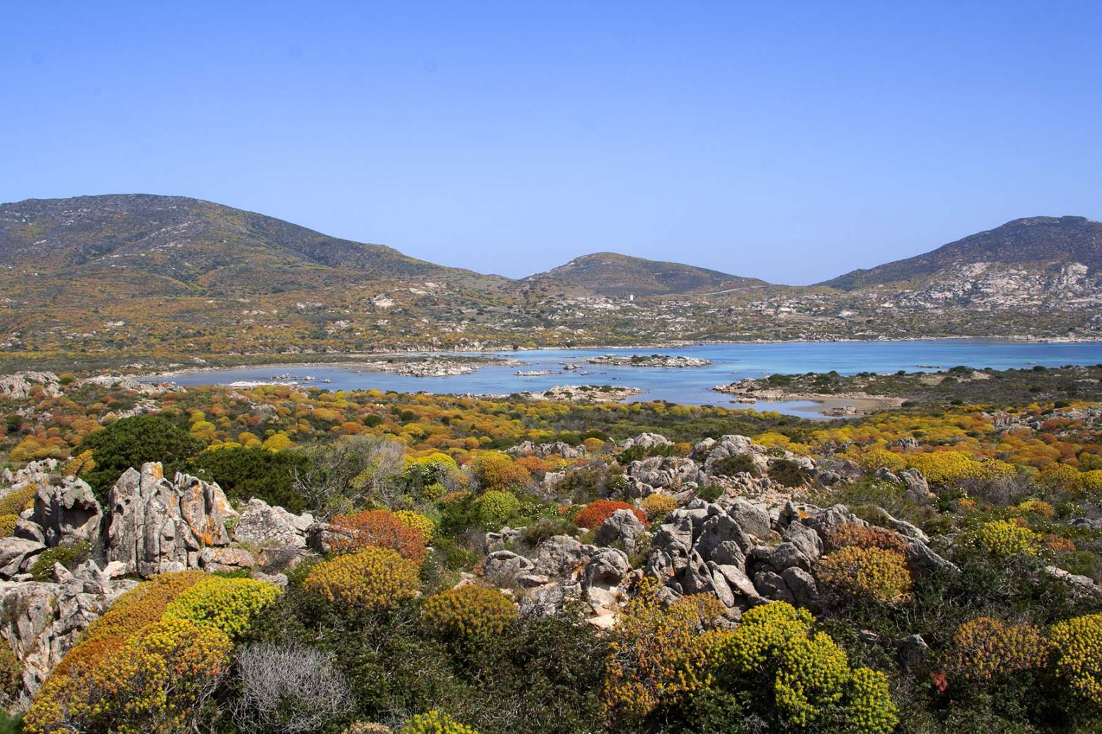
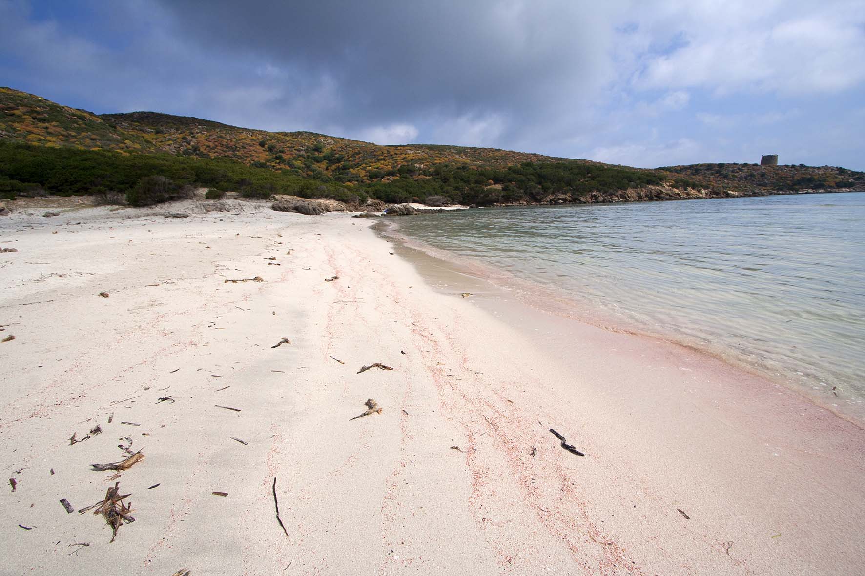
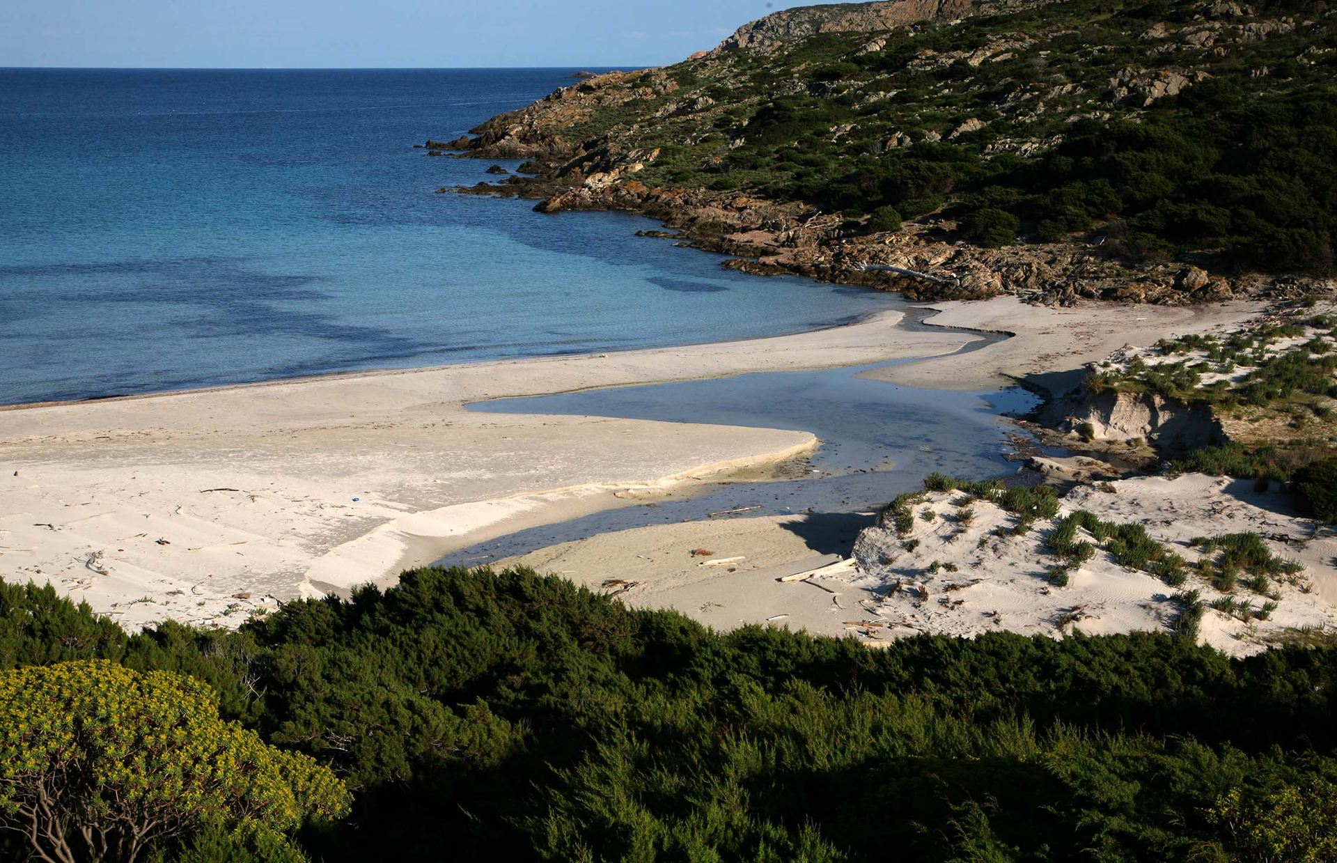
The Asinara Island has a narrow, elongated shape traversed by a concrete road about 25 km long from Fornelli in the southern part to Cala d’Oliva further north, which is well integrated into the landscape and along which it is possible to encounter the island’s main environments. It is also possible to observe the most characteristic species and the main anthropized cores: Fornelli, Tumbarino, La Reale, and Cala d’Oliva.

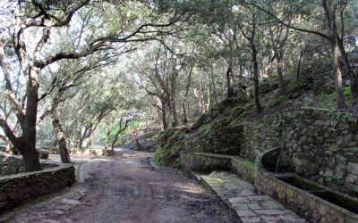
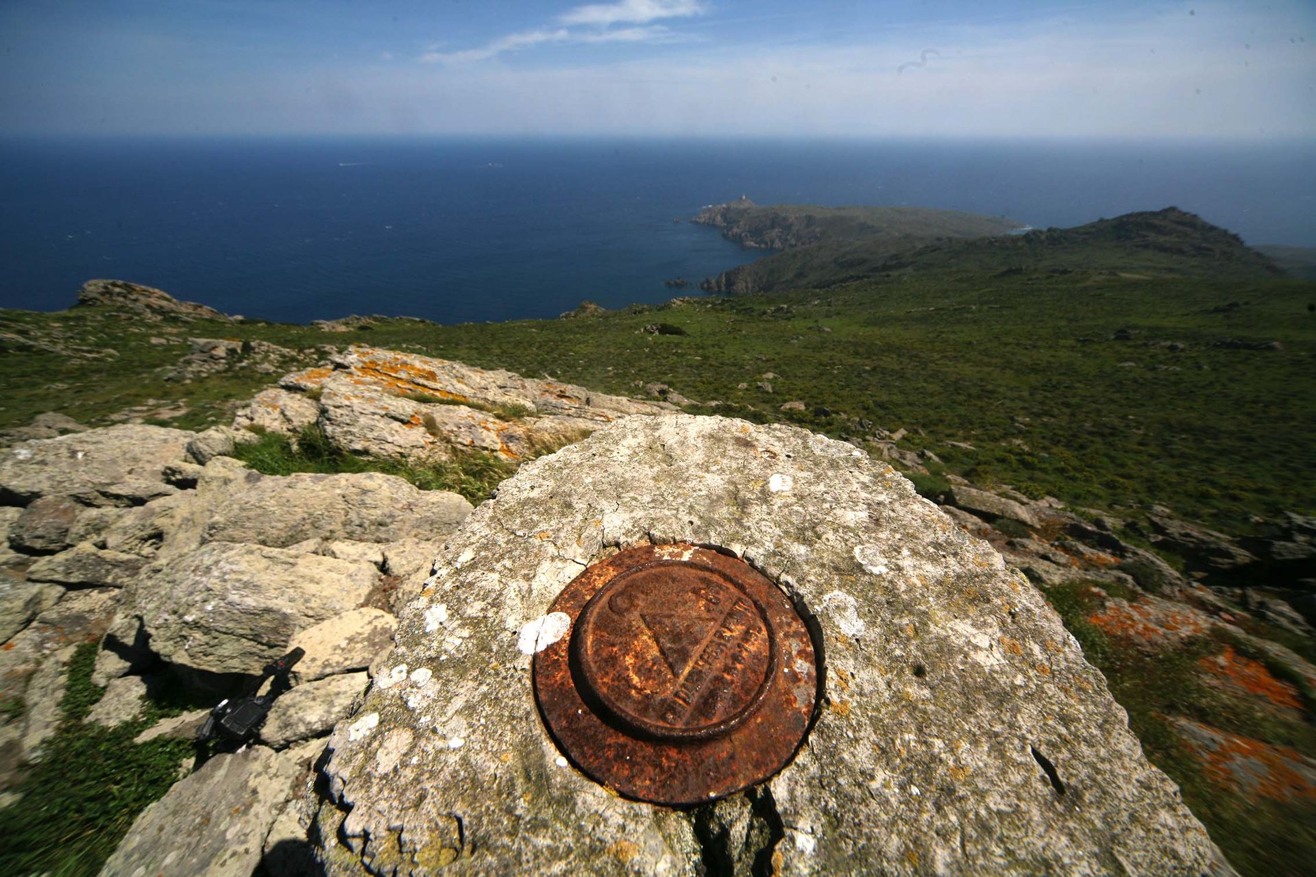
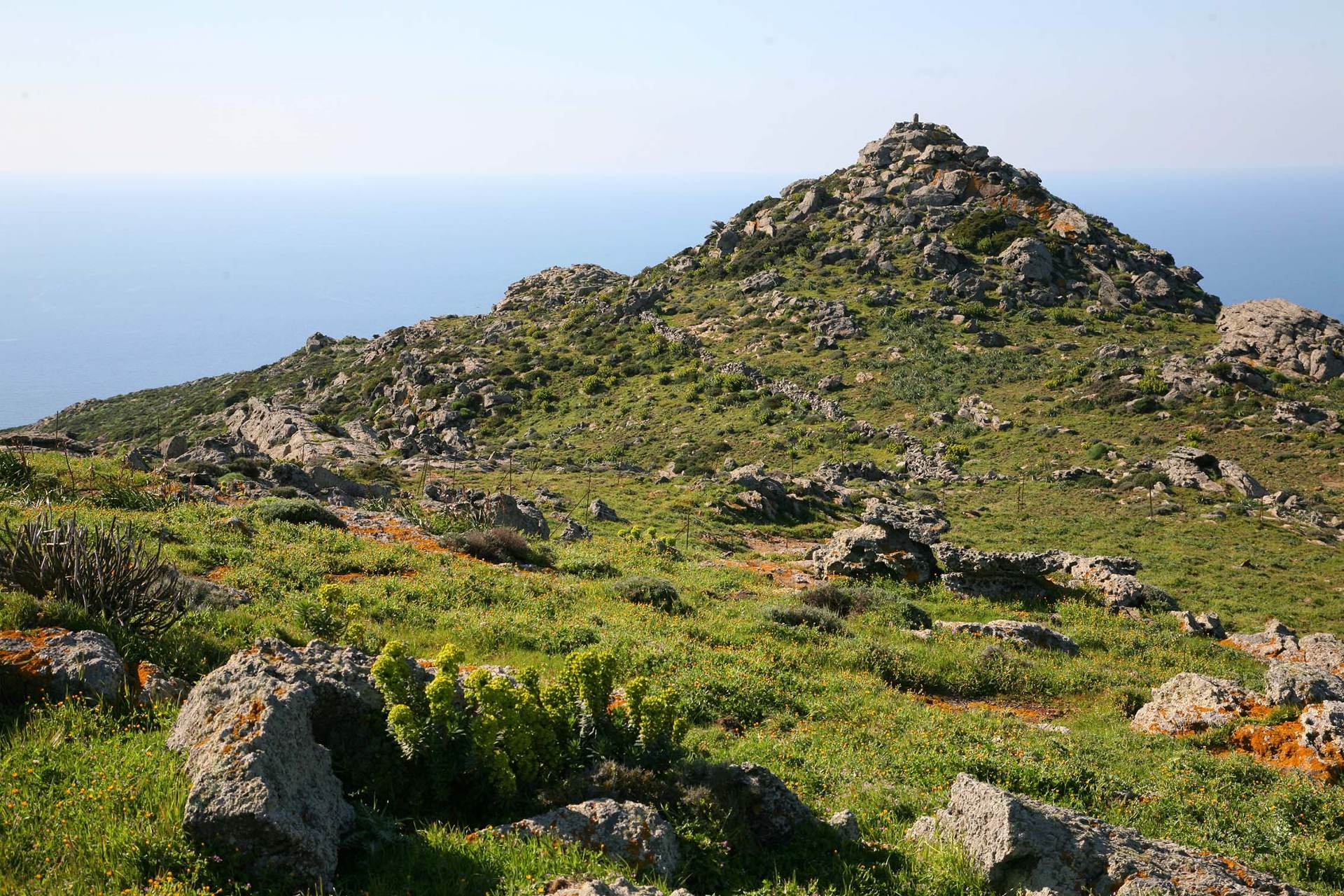
Connected to this main road are the Park’s thematic trails, most of which are built on existing dirt roads and mule tracks or on paths used in the past for mainly pastoral activities.

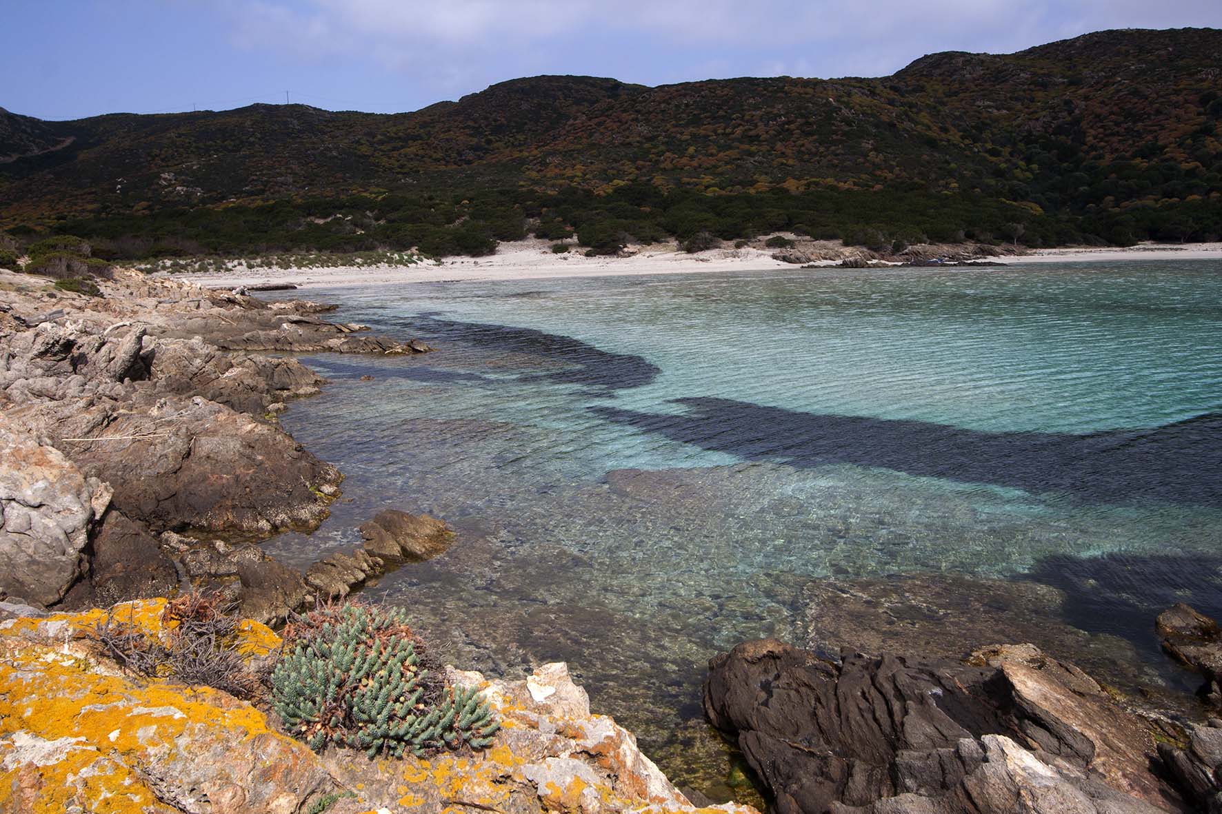
For a careful and sufficiently complete observation, it is recommended to divide the visit to the island into at least three days, one dedicated to the Fornelli area, one to the La Reale area, and one to the Cala d’Oliva area.

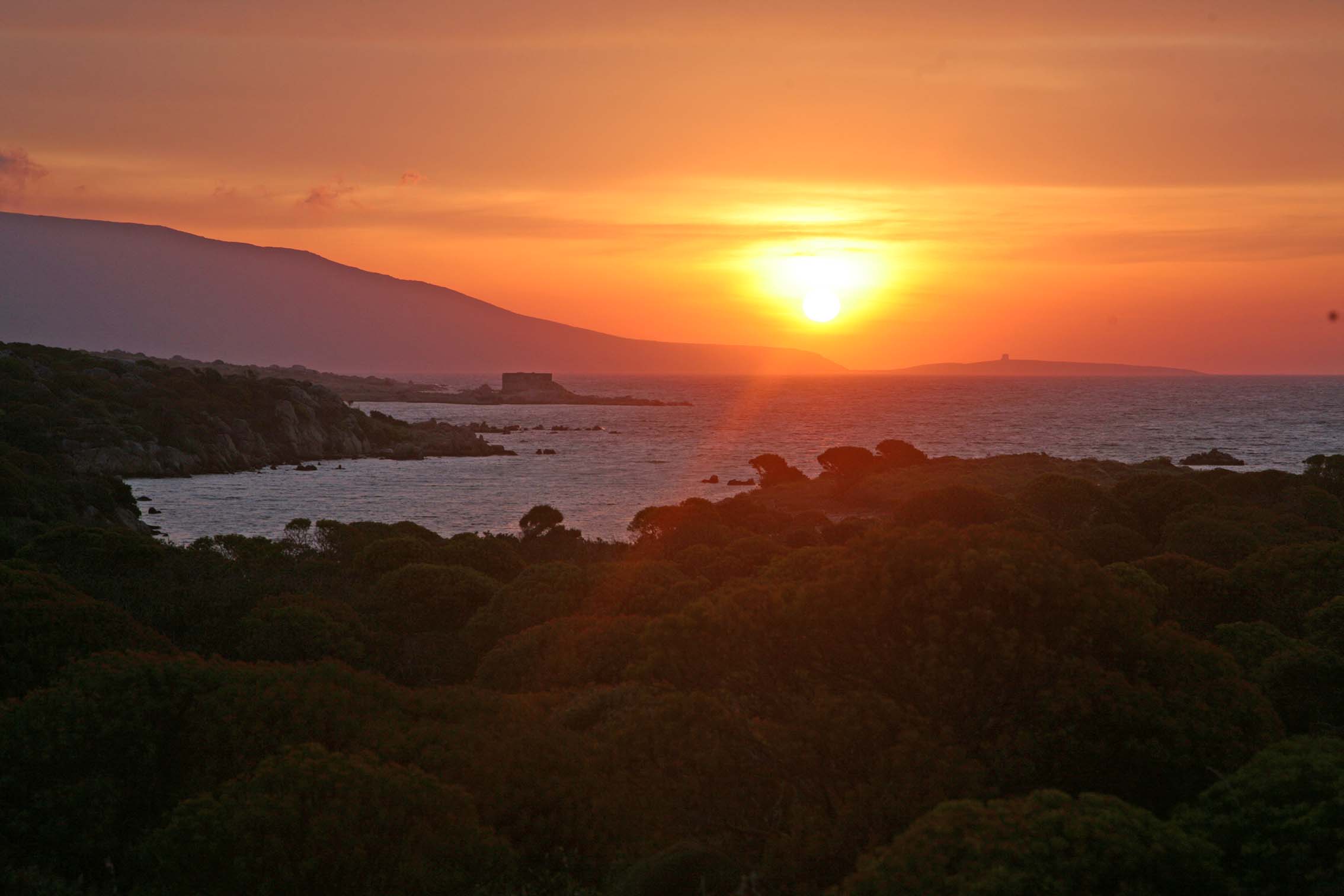
The recommended seasons are spring and fall. Given the very strong sunshine and high temperatures that characterize the island’s climate, reduced water availability and lack of shade, hiking and biking are strongly discouraged in the summer months.

Fornelli area

Granite Trail


Length: 11.2 km
Walking time: 3 h 30'
Maximum elevation gain: 75 m
Cyclability: mostly cyclable
Access: Fornelli Pier

The Granite Trail travels along the dirt road eastward from the Fornelli pier square.

At the first backdunal pond, which you encounter after a few hundred meters, keep left and head inland until you cross the dirt road leading from the Fornelli super prison to the prison facility of Santa Maria.

When you reach the top of the hill, you descend to
Punta Barbarossa
, encountering on the left a small body of water, a popular refuge for ducks and herons in the winter season. Past the old ruined gate near the sea begins the world of Asinara granite, which accompanies the hiker throughout the mostly bikeable route.

It skirts the sea in an alternation of coves, Mediterranean scrub, rushes and small temporary ponds, to the two beaches of
Punta Li Giorri
.

Here the path becomes more impervious and no less than 3 granite quarries, with still some working tools and handcrafted shelter structures.

In the final part, in Cala Sant’Andrea, you skirt the brackish body of water and the integral protection zone and return to the cemented road until you reach the starting point again.

Castellaccio Trail


Length: 8.3 km
Walking time: 2 h 40'
Maximum elevation gain: 212 m
Cyclability: partially cyclable
Access: Fornelli Pier

Continuing from the pier on the cemented road toward Fornelli Prison, we set out on the Trail of the Castellaccio, a ruined medieval structure overlooking the plain and the entire Fornelli Strait.

Past the prison, the road winds slightly uphill between disused prison administration structures, and after about 2 km from the start, near the hump that allows ample visibility of the
Cala della Reale
, you turn left onto an old mule track, following the signs for the castle.

After about 1 km among huge plants of
Euphorbia
e
Calicotome spinosa
, the trail becomes more challenging to the top of the hill. It is common to see wild goats and numerous herds of mouflon.

You reach the castle ruin in half an hour from the spring and then retrace your steps. From Castellaccio the view sweeps from the Strait of Fornelli, to the Piana Island, a Stintino and to the entire peninsula of the Nurra.

On visible days it is possible to appreciate the coastal defense structures built during the period of Saracen raids.

Water Trail


Length: 6.9 km
Walking time: 2 h
Maximum elevation gain: 42 m
Type: loop trail
Cyclability: entirely cyclable
Access: square in front of the Fornelli Visitor Center

Water in its various expressions-sea water, hillside freshwater, coastal brackish ponds, bridges, wells, watering holes, springs, small dams, reservoirs, and technological infrastructure-will accompany the Water Trail, an easy path accessible to all, walkable and bikeable without much effort.

Almost a third of the way along the route, the Post of
Punta Salippi
, an old guard structure now restored to its original color, can be an excellent stopping point for a swim or canoe trip in the waters of the narrow Fornelli Passage.

Continuing along the path, one encounters the sea outside and then, after a short climb, the earthen dam that collects water from the granite massif of the Castellaccio. Continuing on we come to the aqueduct structures and finally to the Fornelli prison.

The plain also contains a small church with a now collapsed hemispherical dome and a square enclosure that locates a small cemetery, the only remaining traces of the World War I prison camp.

Cala Reale Area

Mouflon Trail


Length: 6.1 km
Walking time: 2 h
Maximum height difference: 50 m
Type: loop trail
Cyclability: not cyclable
Access: Tumbarino Wildlife Observatory

The Mouflon Trail is a particularly interesting nature trail.

In addition to mouflon, you can easily see wild boars, crows, Sardinian partridges and colonies of gulls and tufted marangoni, nesting at the islets of
Cala di Scombro di dentro
. It is an ideal place to carry out bird-watching activities, especially during the spring and fall, when it is possible to follow the passage of migratory species between Europe and Africa.

Cappelletta Austro-ungarica

Memory Trail


Length: 5.5 km
Walking time: 1.3 h
Maximum height difference: 0.1 m
Type: loop trail
Cyclability: entirely cyclable
Access: follow the directions
from Cala Reale Visitor Center

The Memory trailis a journey back in time to discover ancient and recent human traces.

On the way, one encounters the Austro-Hungarian chapel, the complex of Camp Faro, a small penitentiary settlement, the old barracks and the small Italian cemetery housing the remains of military personnel who fell at Asinara in 1916.

Continuing on we come to Campu Perdu, former prison branch with an agricultural vocation. In this area it is also possible to visit the Domus de Janas and the Austro-Hungarian Ossuary, where the remains of more than 5,000 World War I prisoners are kept.

White Donkey Trail


Length: 7.8 km
Walking time: 3 h
Maximum height difference: 0.1 m
Cyclability: not cyclable
Access: follow directions from
Cala Reale Visitor Center

The White Donkey Trail takes us into the world of donkeys, easily seen and numerous in various parts of the island but particularly confidant here, grouped in small family units and sometimes harnessed with gray donkeys.

Along the way, the facilities of the Maritime Health Station and the prison branch of Trabuccato.

Toward the interior, some housing for the custodial officers can be spotted while toward the sea, one encounters the fascinating agricultural structures of the Cantina and the coastal tower of Trabuccato.

Nature Trail


Length:  2 km
Walking time:  1 h
Maximum elevation gain:  0 m
Cyclability:  not cyclable
Access:  follow the directions from the
Royal Cove Visitor Center

The Nature Trail, the first of its kind in Sardinia, was created by Asinara National Park in collaboration with the Forestry Authority of Sardinia.

It is fully usable on its own, with 13 rest stops with braille texts and 8 interactive tactile stations that guide the discovery of the island’s pristine environments.

The first 350 meters are also passable by disabled people in wheelchairs, who will find a picnic area at the end of the reserved path. The trail is equipped with a rope handrail that guides the visitor about 830 meters along a circular path back to the starting point.

Along the trail are two branches, one leading to the sea and the other leading to the
thematic trail

Mediterranean garden
“.

Cala d'Oliva area

Leccio Trail


Length:  13.7 km
Travel time:  3.3 h
Maximum elevation gain: 408 m
Type:  loop trail,
small detour to Punta della Scomunica
Cyclability: not cyclable
Access:  former Officer Barracks in Cala d'Oliva

Starting from the former Constable Barracks, travel down the road toward the higher hills in the direction of the White Houses Branch. On the gravel ascent we encounter fountains and troughs, terraces of Ligurian origin and valleys formerly planted with vegetable gardens.

Immediately after the hump of Case Bianche, the landscape changes completely and is reminiscent of that of the inland areas of Sardinia.

Here starts the Holm Oak Trail, among springs, water channels, chestnut trees, holm oaks, and rest and picnic areas, made possible thanks to the invaluable contribution of inmates and the Forestry Authority of Sardinia.

At the top, behind the lookout, the Forestry Barracks and the Botanical Observatory of
Elighe Mannu
, recently renovated.

The ascent to Punta della Scomunica, the highest point on the island, rewards with an unusual and unique panorama.

The Holm Oak Trail continues on to Punta Maestra Serre and over the first bump, the “high” world of Asinara opens up, often covered in fog and low clouds, the unchallenged realm of wild goats. The descent to the ruins of
Cuile Zonca
reports on the sea and Cala d’Oliva.

Lighthouse Trail


Length: 17.9 km
Walking time: 5 h 30'
Maximum elevation gain: 120 m
Cyclability: not cyclable
Access: from the village of Cala d'Oliva

Heading toward the upper part of the village of Cala d’Oliva and following the signs for Punta Sabina, you will encounter the dirt road to the Lighthouse Trail. Cala dei Ponzesi, can be seen from above about 1 km from the trailhead, and shortly afterwards a short variant is encountered that leads to the bay with small beaches and rest stops, which are particularly popular in the summer months.

The dirt road to Punta dello Scorno skirts the cliffs above the sea, amid huge, rounded spurge bushes, in the midst of which it is not difficult to observe the last colony of Sardinian gray donkey in a state of total feralness.

After the hump near Punta dei Corvi, the mule track descends towards
Cala d’Arena
. The magnificent turquoise inlet, dunes and juniper grove behind, are now an integral reserve and access and bathing are not permitted.

Past the coastal tower, one arrives at the lighthouse of
Punta dello Scorno
, an eerie structure in its austerity and loneliness, a landmark for all Sardinian sea routes. A detour leads to the ruins of the former Semaphore, an old Air Force meteorological station, now a hawk roost. The trail, which follows the old military mule tracks, is easy but also very long.

Cala Sabina Trail


Length:  1.3 km
Walking time:  50'
Maximum height difference: 10 m
Cyclability: not cyclable
Access: from the village of Cala d'Oliva

The Cala Sabina Trail provides easy access to the beautiful beach of Cala dei Ponzesi.

The route winds along the coast on an old mule track.

Trabuccato Trail


Length:  6.5 km
Travel time:  1h 45'
Maximum elevation gain: 62 m
Type: round trip
Cyclability: not cyclable
Access: from Cala Murighessa

Starting from Cala Murighessa or Prisoners’ Beach, heading towards Cala Reale and following the signs for Trabuccato, the dirt path begins.

Arriving at Cala le Soriane, the trail forks, and following the coastal side, the expert route is chosen. Continuing further upstream, the route is easier and more accessible for all. Arrived in front of
Cala Barche Napoletane
go up toward the olive grove, and rejoin the cemented road and for about 1500m follow the latter to the Trabuccato prison, where the dirt path along the coast to the center of Cala Reale starts again.

Skip to content